THE FINAL SUMMIT
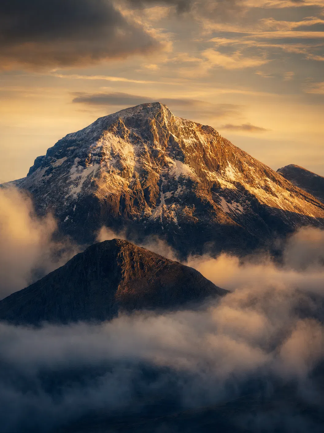
Ben Nevis — from the Scottish Gaelic "Beinn Nibheis" — stands at 1,345 metres (4,413 ft), making it the highest mountain in the British Isles. Located in the Grampian Mountains near Fort William in the Scottish Highlands, it is a mountain of immense scale, unpredictable weather, and profound significance as the final summit of the Three Peaks Challenge.
After 18+ hours of continuous expedition — two summits conquered, hundreds of miles driven, and a night ascent completed — Ben Nevis represents the ultimate test of endurance and determination. The mountain path (also known as the "Tourist Path") is deceptively long: a relentless zigzag climb that gains over 1,300 metres of elevation across approximately 9km each way.
The summit plateau is vast, flat, and featureless — making navigation in cloud extremely difficult. Snow can persist on the summit well into June. The ruins of an old observatory sit at the top, a reminder of the mountain's extreme weather conditions. On clear days, the views extend across the Scottish Highlands to the Isle of Skye and beyond.
ROUTE DETAILS
ASCENT ROUTE
Mountain Path from Glen Nevis Visitor Centre. 9km to summit. Well-maintained lower sections, rocky and exposed above 800m.
DESCENT ROUTE
Same route in reverse. Knee-heavy descent. Trekking poles recommended. Allow 3–4 hours for descent.
TERRAIN
Gravel path, zigzag switchbacks, rocky plateau. Snow possible year-round above 1,000m. Featureless summit plateau in cloud.
KEY HAZARDS
Extreme fatigue, hypothermia, summit plateau navigation in cloud, snow/ice, steep gullies near cliff edges.
EXPEDITION NOTE
Ben Nevis is the longest and most demanding summit of the three — typically 7–9 hours round trip depending on fitness and conditions. The team arrives after an overnight drive from the Lake District, often beginning the ascent around dawn. This is where resilience is truly tested. Our guides monitor pace carefully and provide continuous support. Upon completion, the official medal ceremony takes place at the vehicle.