THE FIRST SUMMIT
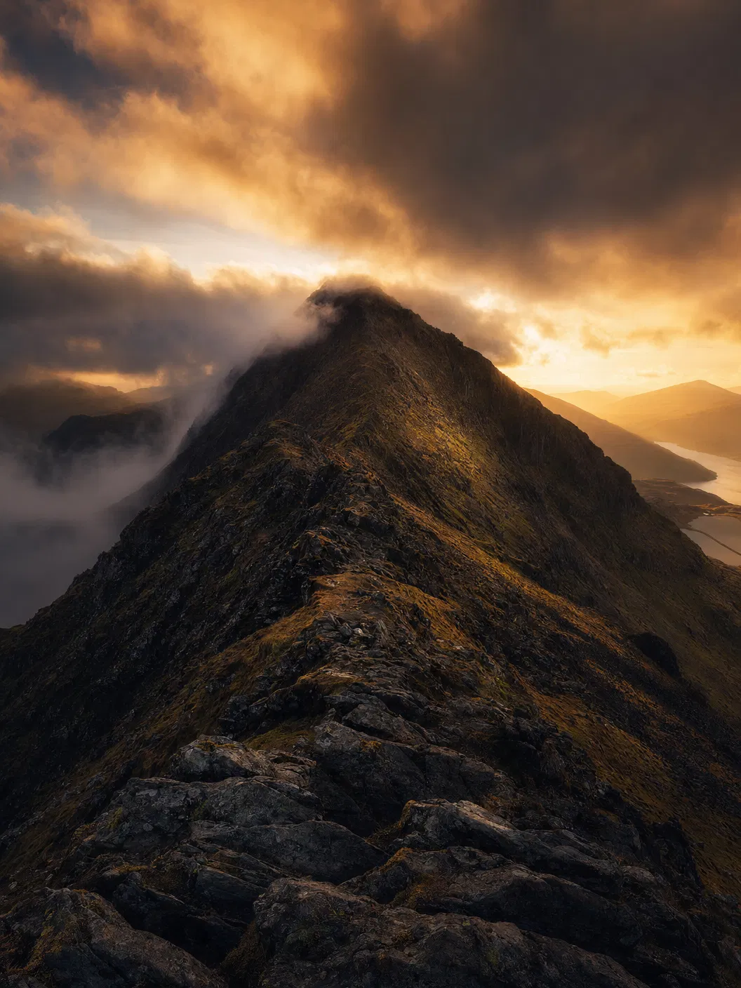
Snowdon — known in Welsh as Yr Wyddfa, meaning "the tumulus" — is the highest mountain in Wales and the highest point in the British Isles south of the Scottish Highlands. At 1,085 metres (3,560 ft), it dominates the Snowdonia National Park landscape with dramatic ridgelines, exposed arêtes, and glacially carved cwms.
As the first summit in the LSA Three Peaks Challenge, Snowdon sets the tone for the entire expedition. The ascent via the PYG Track from Pen-y-Pass offers a direct, challenging route with stunning views across Glaslyn and Llyn Llydaw — two glacial lakes that sit in the mountain's shadow.
The terrain is varied: well-maintained paths give way to rocky scrambles near the summit ridge. In clear conditions, the views from the top extend to Ireland, the Isle of Man, and the Lake District. In poor weather — which is common — the mountain demands respect and careful navigation.
ROUTE DETAILS
ASCENT ROUTE
PYG Track from Pen-y-Pass car park. 6km to summit. Well-marked but rocky in upper sections.
DESCENT ROUTE
Miners' Track descent back to Pen-y-Pass. Slightly longer but gentler gradient on tired legs.
TERRAIN
Mixed: maintained paths, rocky scrambles, exposed ridge sections near summit. Can be slippery in wet conditions.
KEY HAZARDS
Exposed ridges, loose rock near summit, rapid weather changes, low visibility in cloud.
EXPEDITION NOTE
Snowdon is tackled first in the LSA expedition — typically starting around 10:00. This allows the team to summit in daylight and build confidence before the night ascent on Scafell Pike. Our professional mountain guides assess conditions in real-time and adjust pace accordingly.